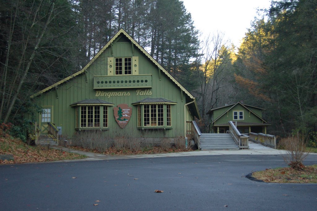
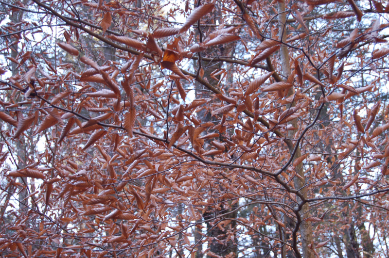
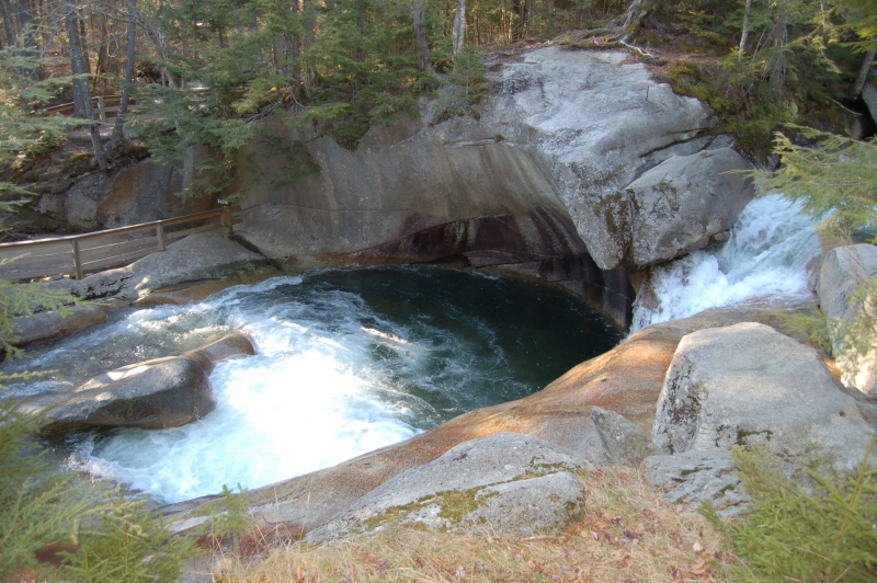
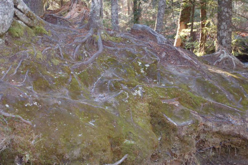
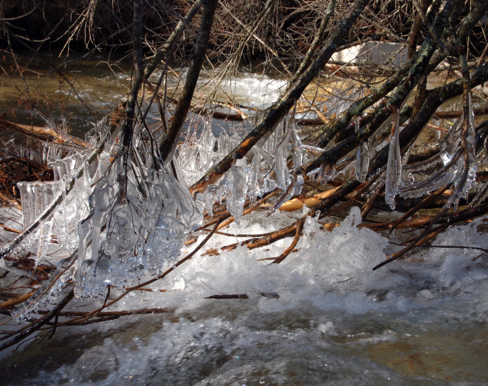
On Ruth Gorge
posted by Sean at 3:59 PM
4 comments
![]()
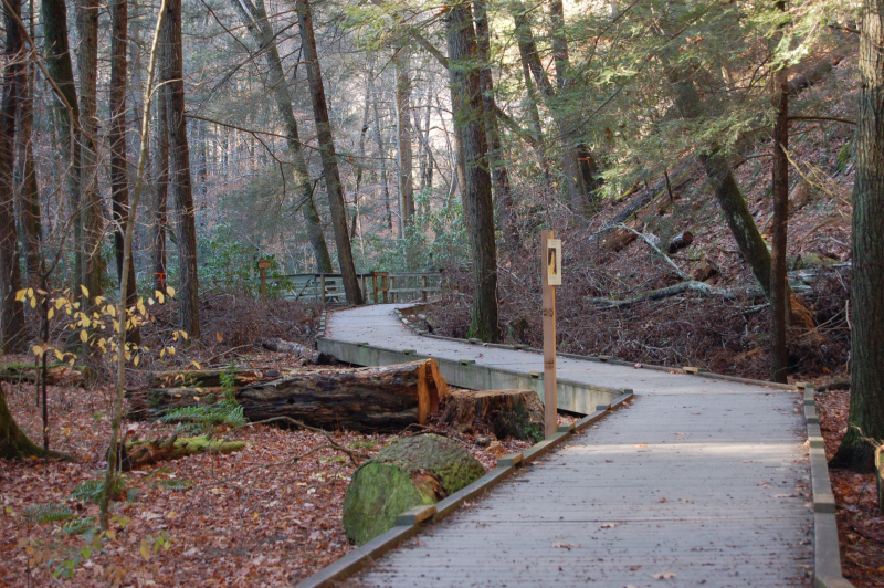
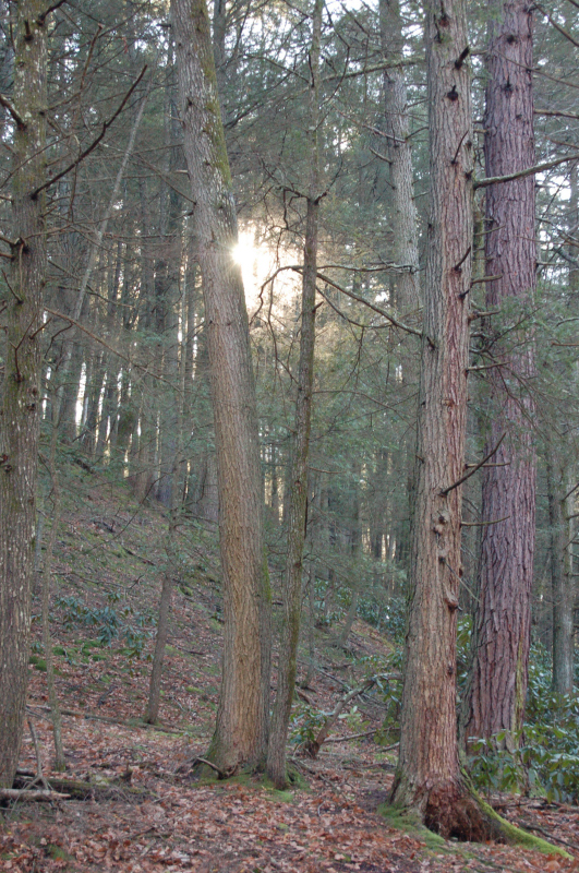
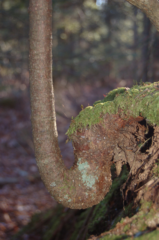
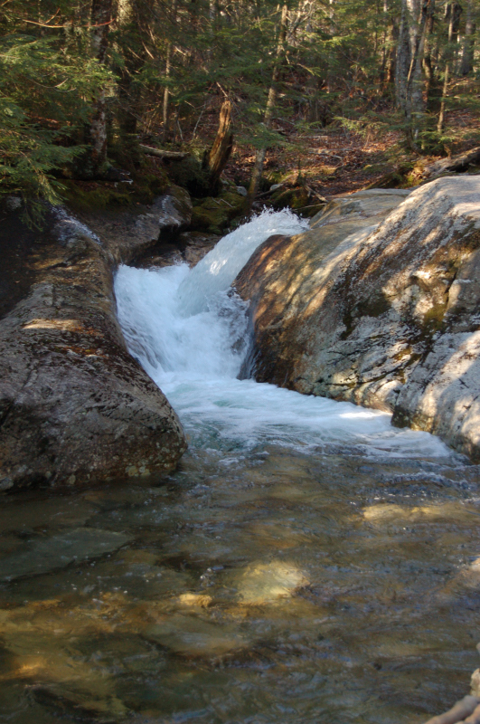
things I'm working at
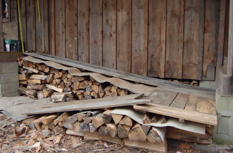

posted by Sean at 5:22 PM
0 comments
![]()
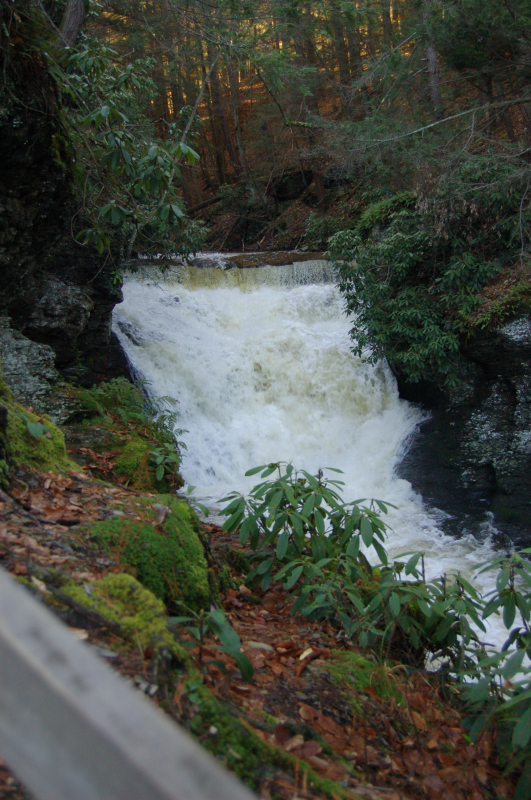
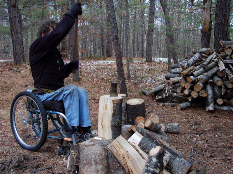
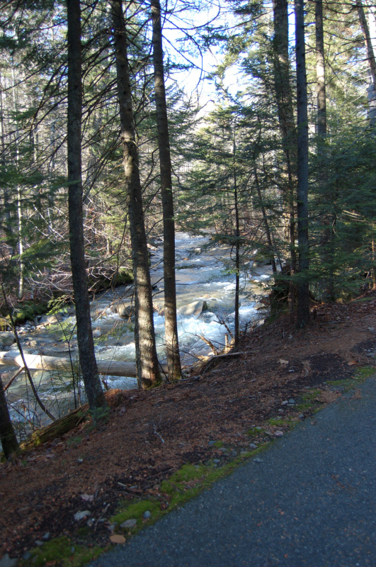
posted by Sean at 2:49 PM
0 comments
![]()

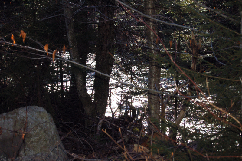
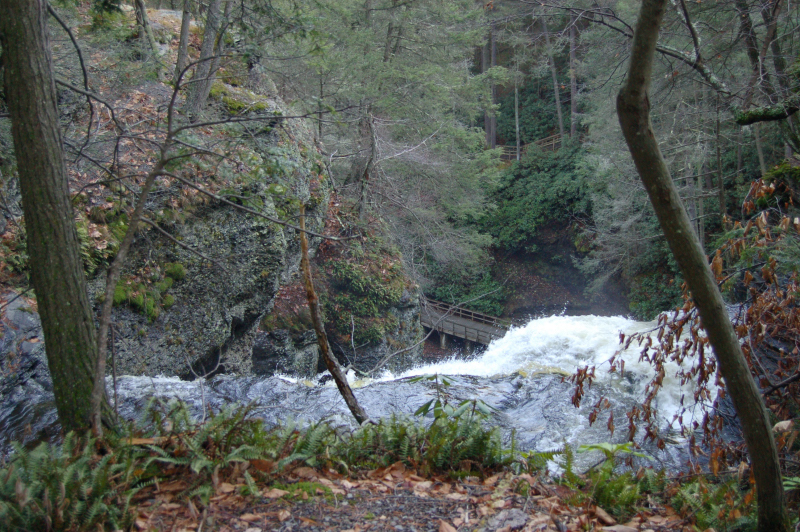
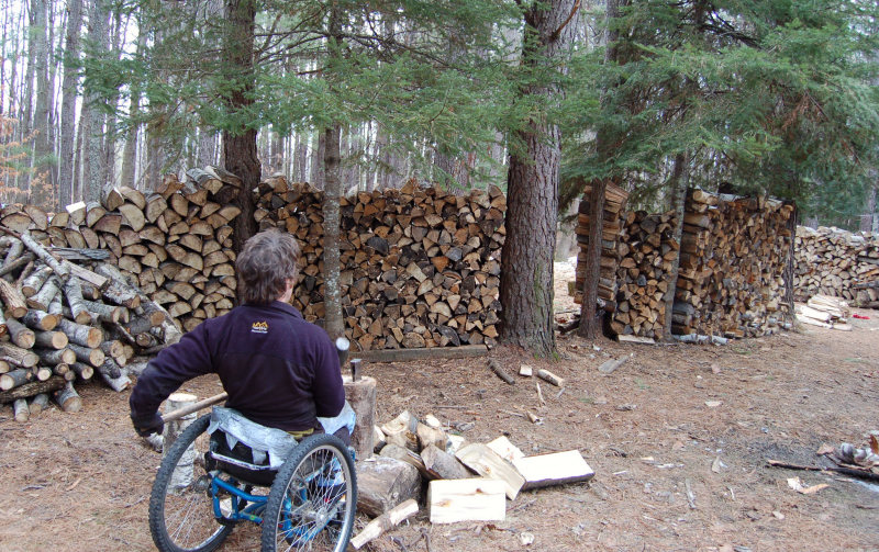
posted by Sean at 8:01 PM
0 comments
![]()
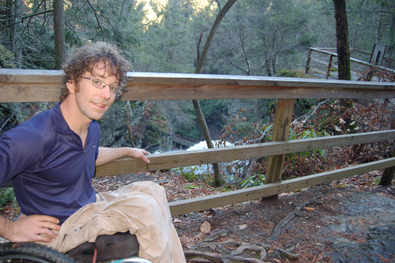
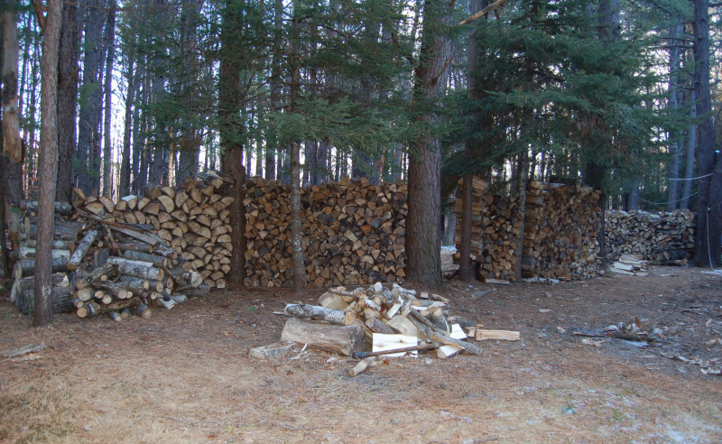
posted by Sean at 8:59 PM
0 comments
![]()
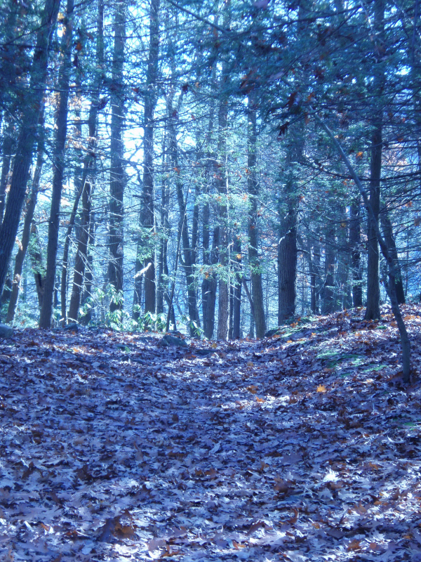
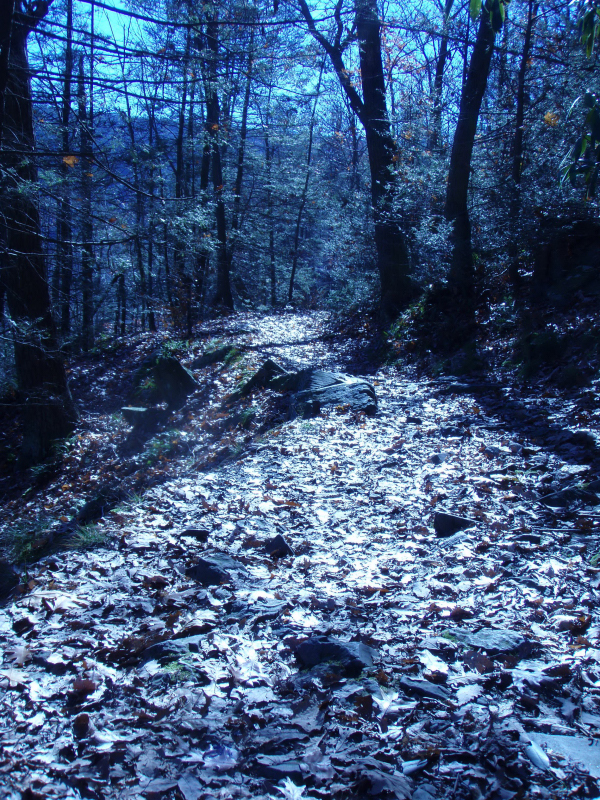
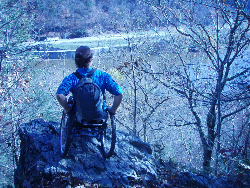
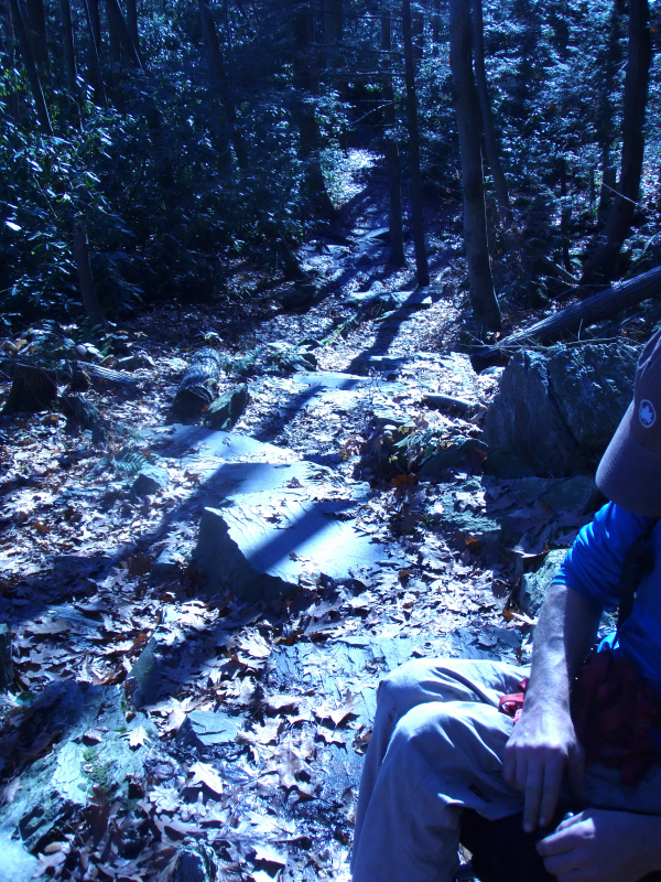
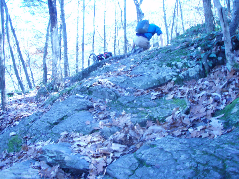
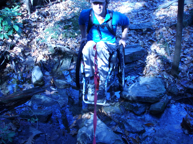
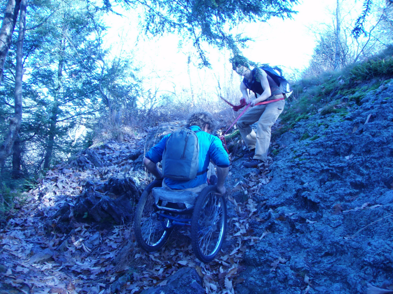
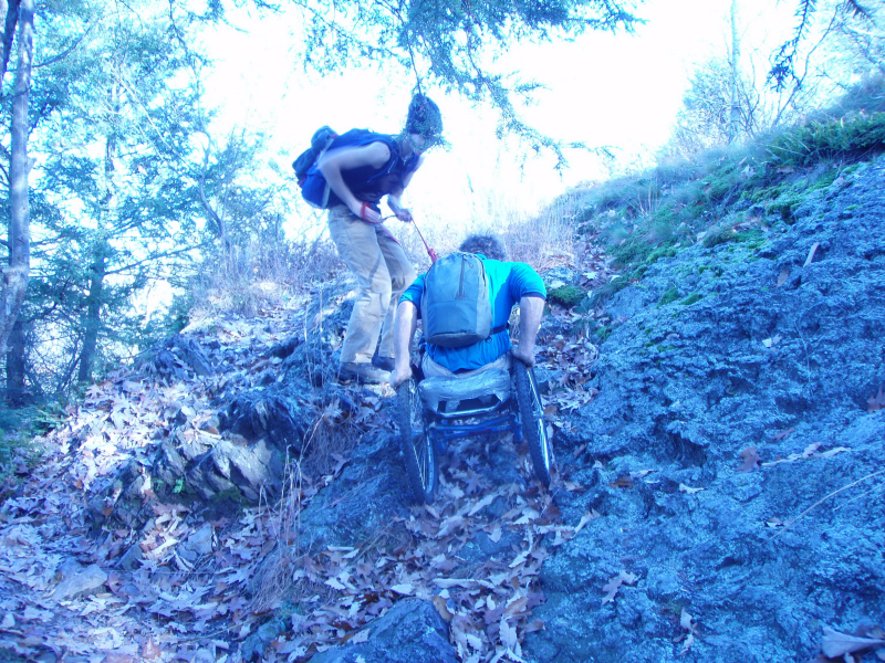
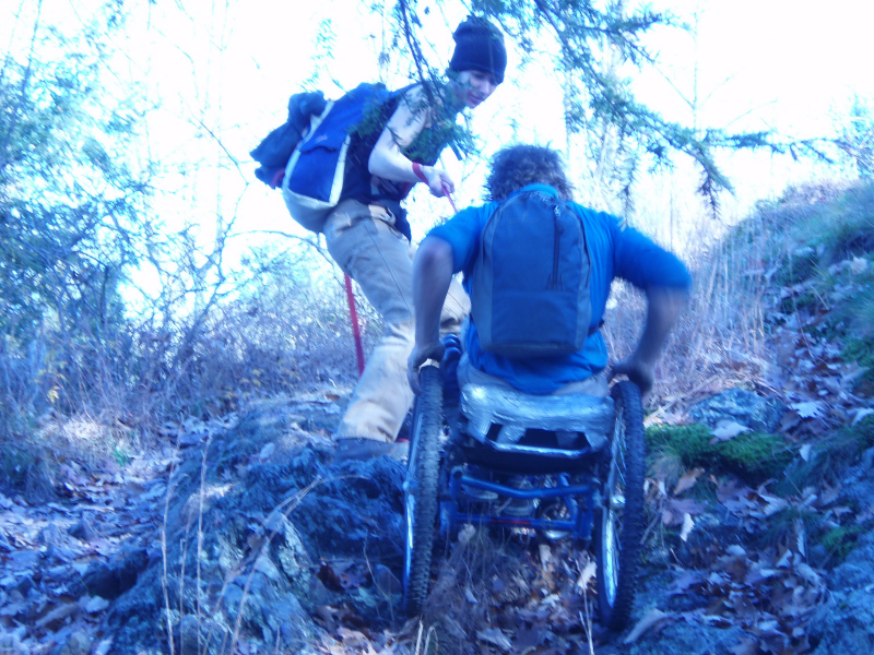
Used to do hard core extreme stuff, like teaching math to young people- and easier stuff like pushing one's wheelchair up long and steep mountain roads. Now I sit on the porch outside the house and listen to public radio while I stare at pine trees and lights and shadows.